Quick Facts:
- 26 acres in Roseville
- Protected in June 2008 through a public-private partnership: Placer County Flood Control & Water Conservation District owns the land and Placer Land Trust controls the easement.
- Public Recreation including cycling and wildlife viewing
Protection and Restoration
Flood Control
The flood control project takes pressure off the stream channel during periods of high flooding. The earthen berm walls will channel up to 160 acre feet of flood waters into the basin, securing it until the peak flows are over.
Miner’s Ravine Project Layout Map
Habitat
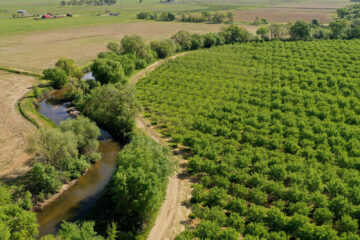
The flood control basin functions as a natural wetlands with restored natural vegetation and stream function, improving habitat for spawning salmon.
Contact Information
Guided tours of the facility may be arranged by contacting the Placer County Flood Control and Water Conservation District at (530) 745-7541.
Visit the Preserve
The easement protects the property for public recreation, linking on-site parking with Roseville Parks, Trails & Bikeways. The parking area is located off Sierra College Boulevard. The trail ties in with the rest of the Roseville Parks, Trails & Bikeways trail system.


